Tuesday, August 9, 2016

2016 Aug BC & Yukon 3

Overlooking Dawson City.  I asked mom's permission to take a picture of this cute baby with Dawson City in the background.  What a fun town.  It's where the Gold Rush was in 1898.  Lasted for 3 years.  The population swelled from 300 to 30,000 in just a short time.  Then it was over and the Gold Rush moved to Alaska.  The city has kept the town looking like it was back in 1898.  Roads are all dirt and building codes are strict to keep the exterior of all buildings as close to the period as possible.
So if you don't have a pick up truck to load your camper on, just put it on a trailer.

Below views of Dawson City.


Our tour guide is originally from Montreal, but now lives in Dawson City all year round.  She lives across the Yukon River directly on the other side.  They have to use a generator and bring in their water.  During the winter, they are stranded until the river freezes over, then they can walk over until the ice gets thick enough to drive over.  And she loves it???????


Above is building affected by permafrost.  Permafrost is the frozen ground that lies beneath the top ground.  It stays frozen all the time, but tends to buckle and move around.


They reconstructed this bar from pictures of the original.  It looks exactly the same.


Post office also reconstructed from pictures.  They depended on the postal service to ship their gold.


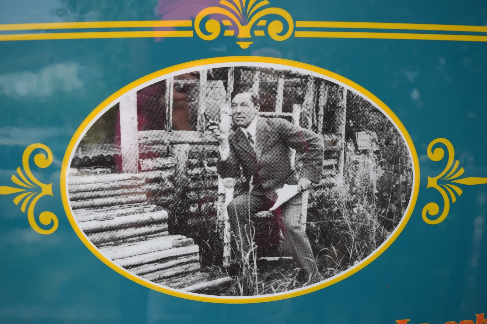
Picture of Robert Service, the famous author who wrote in prose.  He wrote The Cremation of Sam McGee.   Below is his cabin in Dawson City.
Jack London, who wrote Call of the Wild, also lived in this very humble cabin below in Dawson City.


Dredge #4 was located in Dawson City.  We took tours of 3 different dredges.  These weighed several ton.  They dug a ditch underneath so that the whole thing would float.  The long arm in front with buckets swung back and forth digging for gold.  Each bucket weighed 600 lbs before picking up the rock.  The rock was carried inside and put through a process to filter out the gold.  The dredges were in operation in the early 1900's until about 1960 when they got too expensive to operate.  They are still mining for gold all through this area, but they carry the rock by truck to the areas where they filter through it and separate the gold.

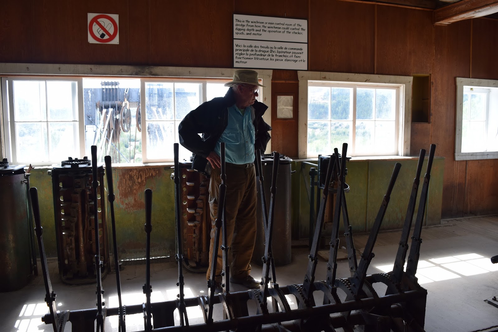
This is the wench room.  Cliff's trying to figure out what wench operates what.
Gold bars getting ready to be shipped.

Our first sited moose.

                                        Can you imagine traveling through Canada on this?

Monday, August 8, 2016

2016 July BC & Yucon 1

Above is the route of the Alcan Highway (now just called the Alaskan Highway).  In December of 1941, the Japanese bombed Pearl Highway.  Because of the obvious threat to Alaska and the West Coast, in February of 1942, FDR signed the papers to build a highway from Dawson Creek, BC to Fairbanks (1523 miles). 10,000 US troops were mobilized and sent to three different locations to start the building process. They started in March of 1942 and  it was done in just over 8 months. We traveled the same route.  There are museums with hundreds of pictures of the construction all along the way.  Very interesting story.  It was tremendously hard work. 


Black soldiers made up about a third of the work force.  The whites did not think they would be able to operate the heavy equipment or learn the skills needed to construct bridges.  The black soldiers built this bridge below during the 1942 construction which is still used today.
Distant view of the same bridge.

Above:  On a ridge above Dawson Creek are 34 wind turbines.  We drove up to the top to see them.  Beautiful view of  Dawson Creek from up there.

Just some of the pictures we saw in museums about the construction of the Alcan Highway in 1942. Mud was a big problem.


Do these cyclist see what's up ahead?

Cliff enjoying Muncho Lake near Liard River, BC.  It was the prettiest emerald color.


Plane flying over Muncho Lake.  What a view they have.

                                                 One pretty lake right after another. 
Hot springs pool at Liard River, BC.  Several of our group went in despite the long hike to get there.
Robert Service wrote comical stories in prose.  He lived in BC and the Yukon, and we heard several of his stories during this part of our trip.  A few from our group read one of his cute stories.  Everyone had a great time with this.


This woman is smart taking pictures of these bison from her truck.  Some of our group just walked along the opposite side of the rode from them to take pictures.  This was just a short distance from our campground.  Glad these beasts didn't wander into our camp.
Another cyclist that's been on the road much too long.
Entering the Yukon.  Right before Watson Lake.

2016 Aug BC & Yukon 2


This Sign Post Forest is in Watson Lake, Yukon.  It started during the 1942 construction of the Alcan Highway.  Anyone can leave a sign.  Our Adventure Caravan group put up the sign below with all of our names on it.  There's 82,000 signs at last count.

                              Of course, I had to take this picture.  What a perfect rainbow.
We stopped at this First Nation Museum in Teslin, Yukon.  They aren't called Indians in Canada.  They are First Nation people.  This man was showing Cliff how hand drums are made.  They soak birch pieces and form the circular shell, then stretch caribou hide over the top for the drum.  It's not as easy as it looks.


Above is the Klondike steam boat in Whitehorse, Yukon.  This is actually the 2nd Klondike.  The first was destroyed by the ice on the Yukon River.  These steam boats made trips between Whitehorse and Dawson City carrying supplies up to Dawson City and gold back to Whitehorse.  It burned a cord (8 x 4 x 4 ft) of wood an hour.
Kitchen and dining room on the Klondike.

Views of and around Whitehorse, Yukon. 

This eagle was in downtown Whitehorse on the Yukon River.


More Ice Age mammals at the Beringia Museum in Whitehorse.  This scientist was extremely knowledgeable about these mammals.  The replica of the wooly mammoth above shows a knife mark on it's leg indicating humans may have been trying to hunt them. 

Below a canyon real close to our campground.  We walked across the pedestrian bridge.  Found some tree limbs that a bear had rubbed up against and left a lot of hair.  Glad we didn't run into him.

                     Hope they don't fall in.  The water is frigid cold.
Man on left talking to Cliff was First Nation member from the Northern most town in the Yukon, Old Crow.  Only accessible by plane.  He was in Whitehorse because he's the provincial representative from his area.  Whitehorse is the capitol of Yukon.  He and two friends were getting ready to take a float plane to a lake about 40 minutes from Whitehorse.  They were then going to hike up the mountain 18 miles to hunt for mountain sheep.

First Nation mom & little boy dressed as Batman.